OpenSeaMap-dev:Depth-Ocean Melt Greenland
Version vom 16. Juli 2017, 08:25 Uhr von Markus (Diskussion | Beiträge) (Die Seite wurde neu angelegt: „thumb| [http://map.openseamap.org/?zoom=4&lat=75.91479&lon=-20.55275&layers=BFTFFTTFFTF0FFFFFFFFTF Greenland (OpenSeaMap)] …“)
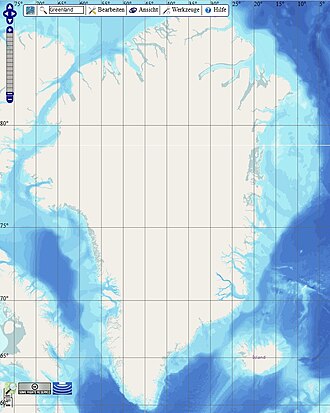
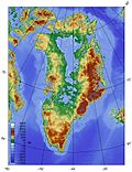
This is the documentation for the integration of bathymetric data donations from Ocean Melt Greenland (OMG) into OpenSeaMap.
Inhaltsverzeichnis
Project
- Ocean Melt Greenland (OMG)
- National Snow & Ice Data Center (NSIDC)
- Area: Greenland
Involved persons
Nolwenn, Markus
Data
- Grid 150 x 150 m
- 2GB (compressed in NetCDF format)
Projection
| Project | EPSG | Remarks |
|---|---|---|
| OMG | EPSG 3413 | description |
| OpenSeaMap | EPSG 3857 | description |


